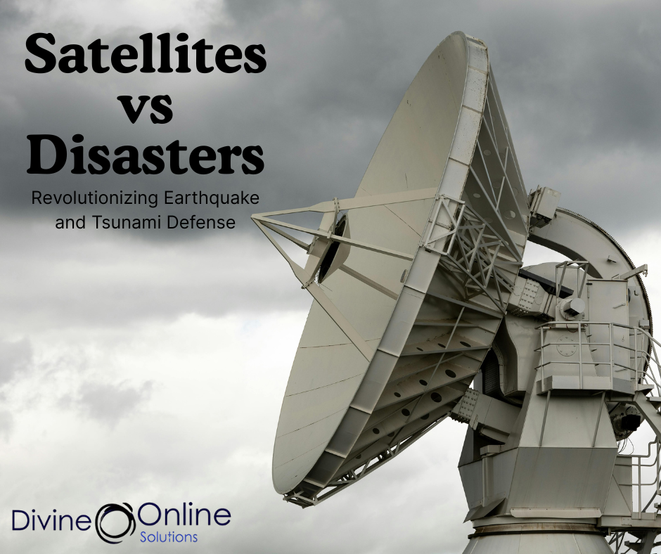
Revolutionizing Earthquake and Tsunami Defense
Harnessing Satellite Tracking to Combat Earthquakes and Tsunamis
In an era where natural disasters pose significant threats to coastal communities. Satellite tracking technology has emerged as a pivotal tool in enhancing early warning systems for earthquakes and tsunamis. By leveraging advancements in satellite technology, scientists and disaster management agencies can detect seismic activities and oceanic disturbances with unprecedented speed and accuracy, potentially saving countless lives.
Understanding Satellite Tracking in Disaster Management
Satellite tracking involves the use of satellite systems to monitor and collect data on various environmental parameters. In the context of earthquakes and tsunamis, satellites play a crucial role in:
- Monitoring Seismic Activities: Satellites equipped with Global Navigation Satellite Systems (GNSS) can detect ground movements caused by seismic activities. These systems measure the deformation of the Earth’s crust, providing real-time data on earthquake occurrences, their magnitudes, and potential aftershocks.
- Detecting Oceanic Disturbances: Satellites can observe changes in sea surface heights and temperatures, which are indicative of tsunami waves. By analyzing these changes, scientists can predict the potential impact of tsunamis and issue timely warnings to vulnerable coastal regions.
- Assessing Atmospheric Changes: The GUARDIAN (GNSS Upper Atmospheric Real-time Disaster Information and Alert Network) system utilizes signals from GNSS satellites to detect atmospheric disturbances caused by seismic events. These disturbances, such as ionospheric changes, can indicate the onset of a tsunami, allowing for early alerts.
Real-World Applications and Success Stories
Recent advancements in satellite tracking have led to notable successes in disaster management:
- Pacific Tsunami Detection: In July 2025, a magnitude 8.8 earthquake off Russia’s Kamchatka Peninsula triggered a tsunami that traveled across the Pacific Ocean. NASA’s GUARDIAN system detected atmospheric disturbances caused by the tsunami up to 30 minutes before it reached Hawaii. This provided critical lead time for evacuation and preparedness measures.
- NOAA’s DART System: The National Oceanic and Atmospheric Administration (NOAA) has developed the Deep-ocean Assessment and Reporting of Tsunamis (DART) system. It uses underwater sensors and surface buoys to detect tsunami waves. These sensors transmit data via satellites to tsunami warning centers, enabling timely alerts and coordinated response actions.
- Global Earthquake Monitoring: The European Space Agency’s Swarm satellites have been instrumental in detecting electromagnetic signals associated with seismic events. It enhances the ability to monitor earthquakes in real time, even in remote regions.
Enhancing Global Preparedness
Satellite tracking technology not only aids in immediate disaster response but also contributes to long-term preparedness:
- Global Monitoring Networks: International collaborations, such as the Global Earthquake Model (GEM) and the Pacific Tsunami Warning System, have led to the establishment of global monitoring networks that utilize satellite data to track seismic and oceanic activities. These networks provide comprehensive coverage, ensuring that even remote regions are monitored for potential threats.
- Integration with Local Systems: By integrating satellite data with local disaster management systems, authorities can enhance their response capabilities. For instance, Japan’s J-Alert system utilizes satellite-based data to issue rapid alerts to citizens during seismic events. This reduce response times and improving public safety.
- Community Resilience: Satellite data supports the development of risk assessment models, enabling governments and organizations to build resilient infrastructure and implement effective disaster preparedness plans.
The Future of Satellite Tracking in Disaster Management
The future of satellite tracking in disaster management looks promising:
- Advancements in Satellite Technology: Ongoing research and development in satellite technology aim to improve the accuracy and reliability of disaster detection systems. Enhanced satellite sensors and data processing algorithms will enable more precise monitoring of seismic and oceanic activities.
- Artificial Intelligence Integration: The integration of artificial intelligence with satellite data can facilitate the automatic detection and analysis of potential disaster events. AI algorithms can process vast amounts of satellite data to identify patterns and anomalies indicative of impending disasters.
- Public Awareness and Education: Increasing public awareness about the role of satellite tracking in disaster management can lead to better preparedness and response. Educational initiatives can inform communities about the importance of satellite data and how it contributes to their safety.
Conclusion
Satellite tracking technology has revolutionized the way we monitor and respond to earthquakes and tsunamis. By providing real-time data and early warnings. Satellites play a crucial role in saving lives and minimizing damage during natural disasters. As technology continues to advance, the integration of satellite tracking with AI, global networks, and local systems will further enhance our ability to predict, prepare for, and respond to seismic and oceanic threats.
Visit www.divineonline.solutions to learn how we can tailor our services to meet your needs.


